.png)
Oxford School Atlas
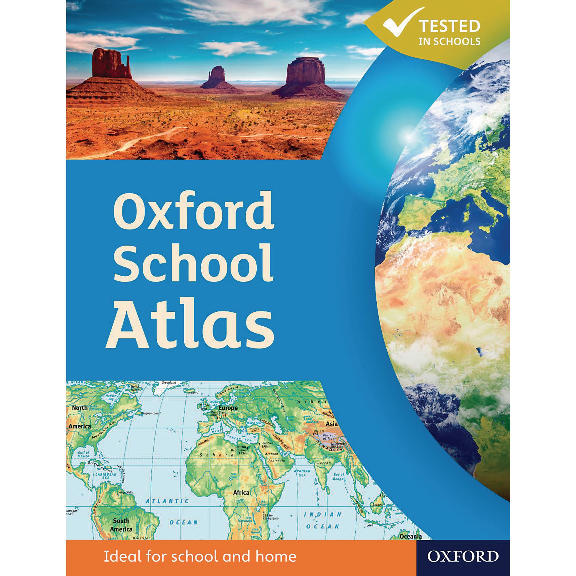
The Oxford School Atlas has accessible, colourful, and clearly-labelled maps that are easy to read and enjoy.
It is presented in an accessible visual layout based on research into how students use maps.
All of the curriculum themes are covered including earthquakes and volcanoes, climate, economic activity, development and comprehensive coverage of the British Isles.
Paperback.
Description
The Oxford School Atlas has accessible, colourful, and clearly-labelled maps that are easy to read and enjoy.
It is presented in an accessible visual layout based on research into how students use maps.
All of the curriculum themes are covered including earthquakes and volcanoes, climate, economic activity, development and comprehensive coverage of the British Isles.
Paperback.
Specifications
GB
55101501
4.08kg
8mm
226mm
294mm
Oxford
Geography