.png)
EaRL UK Map Mat from Hope Education
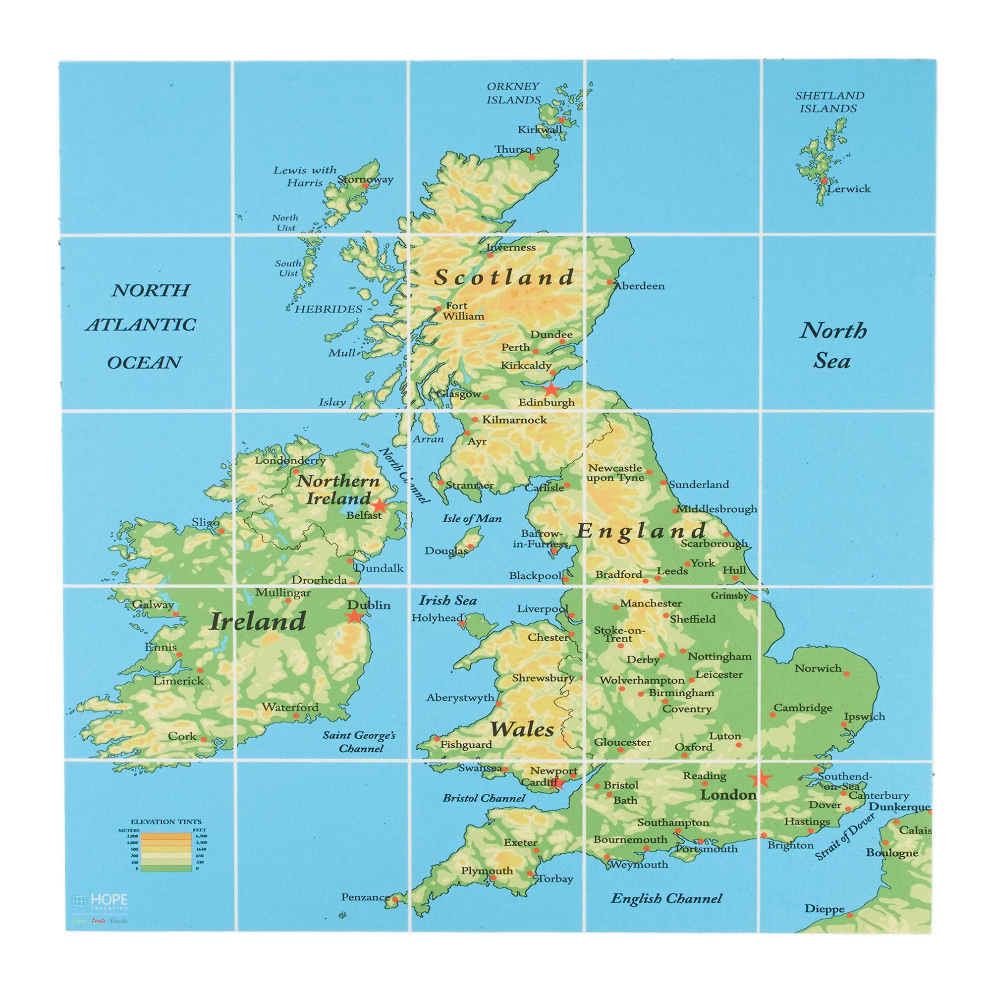
Take EaRL on his travels! Create coding with a sense of adventure using the EaRL UK Map Mat from Hope Education. This marvellous mat is a brilliant way to make cross-curricular links between Computing and Geography.
The EaRL UK Map Mat depicts a high-quality and detailed map of the British Isles, including each country within the United Kingdom and its surrounding seas. With a size of 76cm x 76cm, the map is overlaid with a 5 x 5 grid, making it easier than ever for pupils to code and direct EaRL’s journeys. Whether they choose to send him to London or the Shetland Islands, this mat is sure to strengthen pupil’s programming skills, locational knowledge and understanding of basic human and physical geography. It’s also a great way to develop children’s awareness of position and direction. The EaRL UK Map Mat is just the ticket!
What’s in the Box?
- 1 x floor map of the British Isles, overlaid with a 5 x 5 grid (76cm x 76cm)
Description
Take EaRL on his travels! Create coding with a sense of adventure using the EaRL UK Map Mat from Hope Education. This marvellous mat is a brilliant way to make cross-curricular links between Computing and Geography.
The EaRL UK Map Mat depicts a high-quality and detailed map of the British Isles, including each country within the United Kingdom and its surrounding seas. With a size of 76cm x 76cm, the map is overlaid with a 5 x 5 grid, making it easier than ever for pupils to code and direct EaRL’s journeys. Whether they choose to send him to London or the Shetland Islands, this mat is sure to strengthen pupil’s programming skills, locational knowledge and understanding of basic human and physical geography. It’s also a great way to develop children’s awareness of position and direction. The EaRL UK Map Mat is just the ticket!
What’s in the Box?
- 1 x floor map of the British Isles, overlaid with a 5 x 5 grid (76cm x 76cm)
Specifications
GB
60141303
7.83kg
100mm
100mm
750mm
Computing & ICT